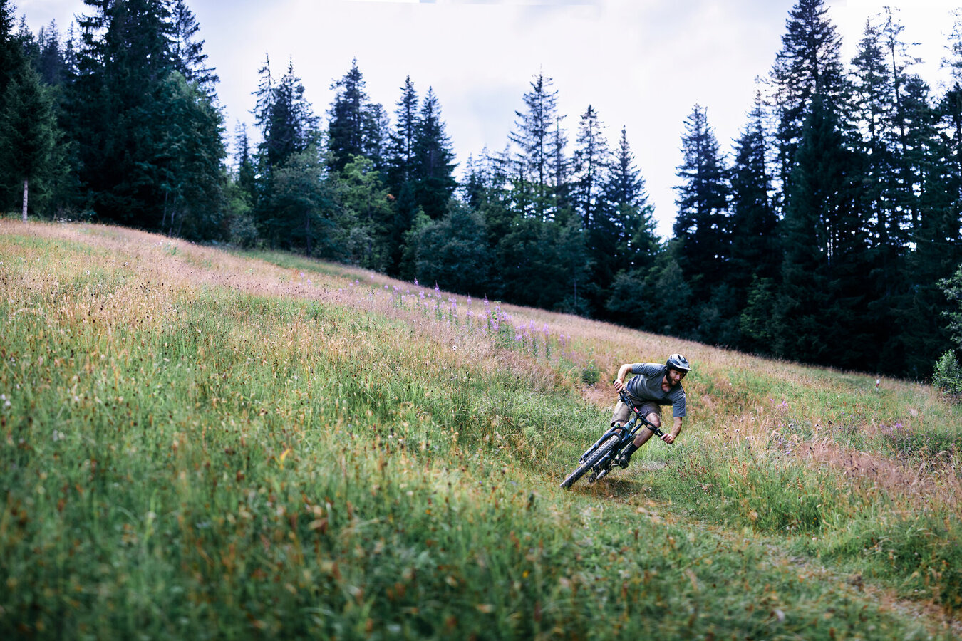
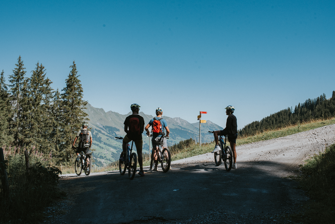
OUR MOST BEAUTIFUL ROUTES
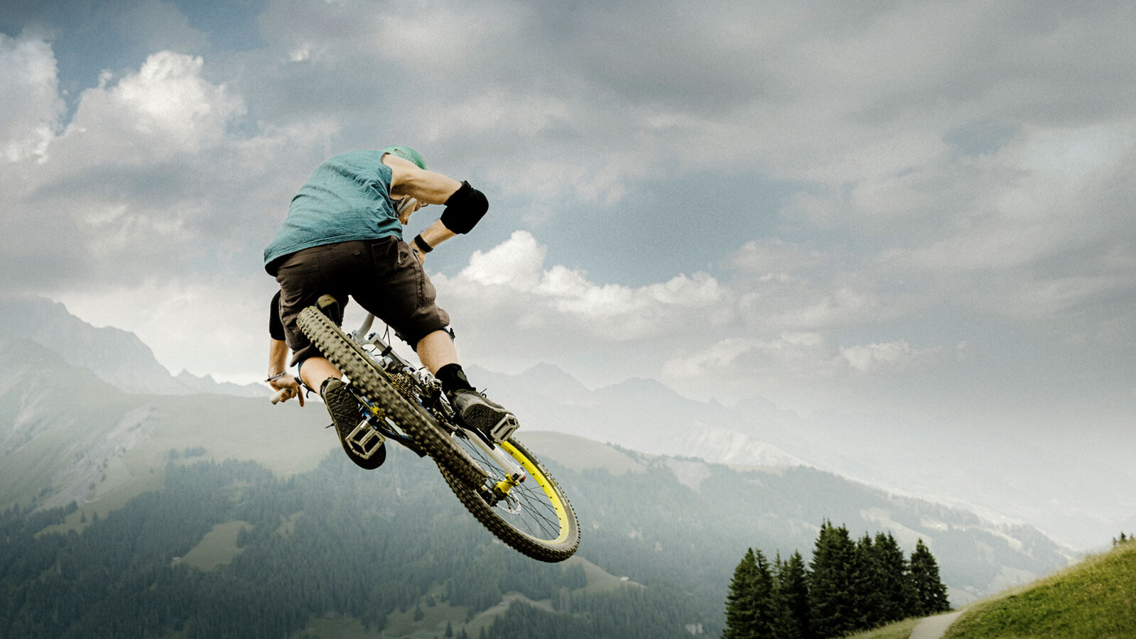
Bike HIghlights
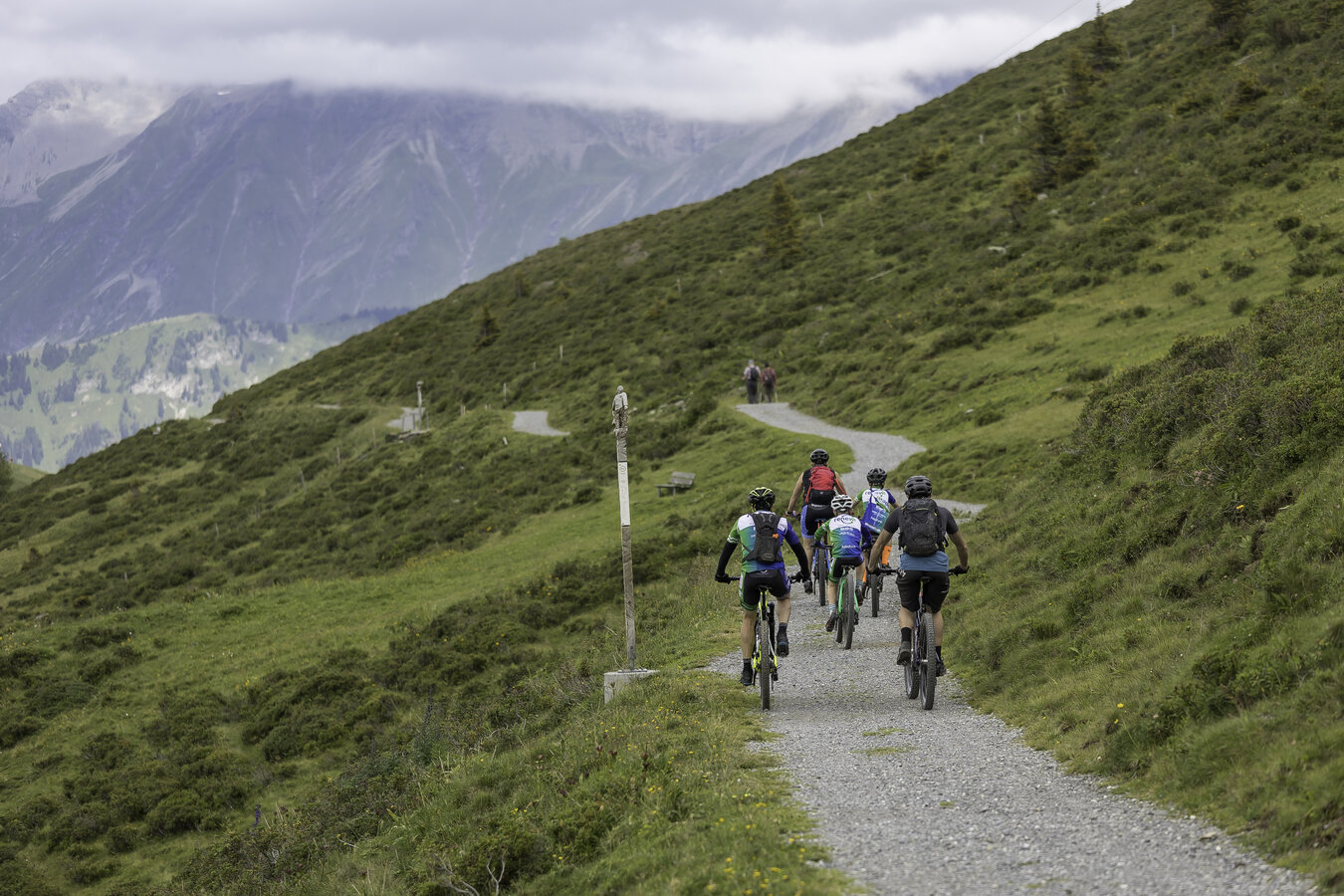
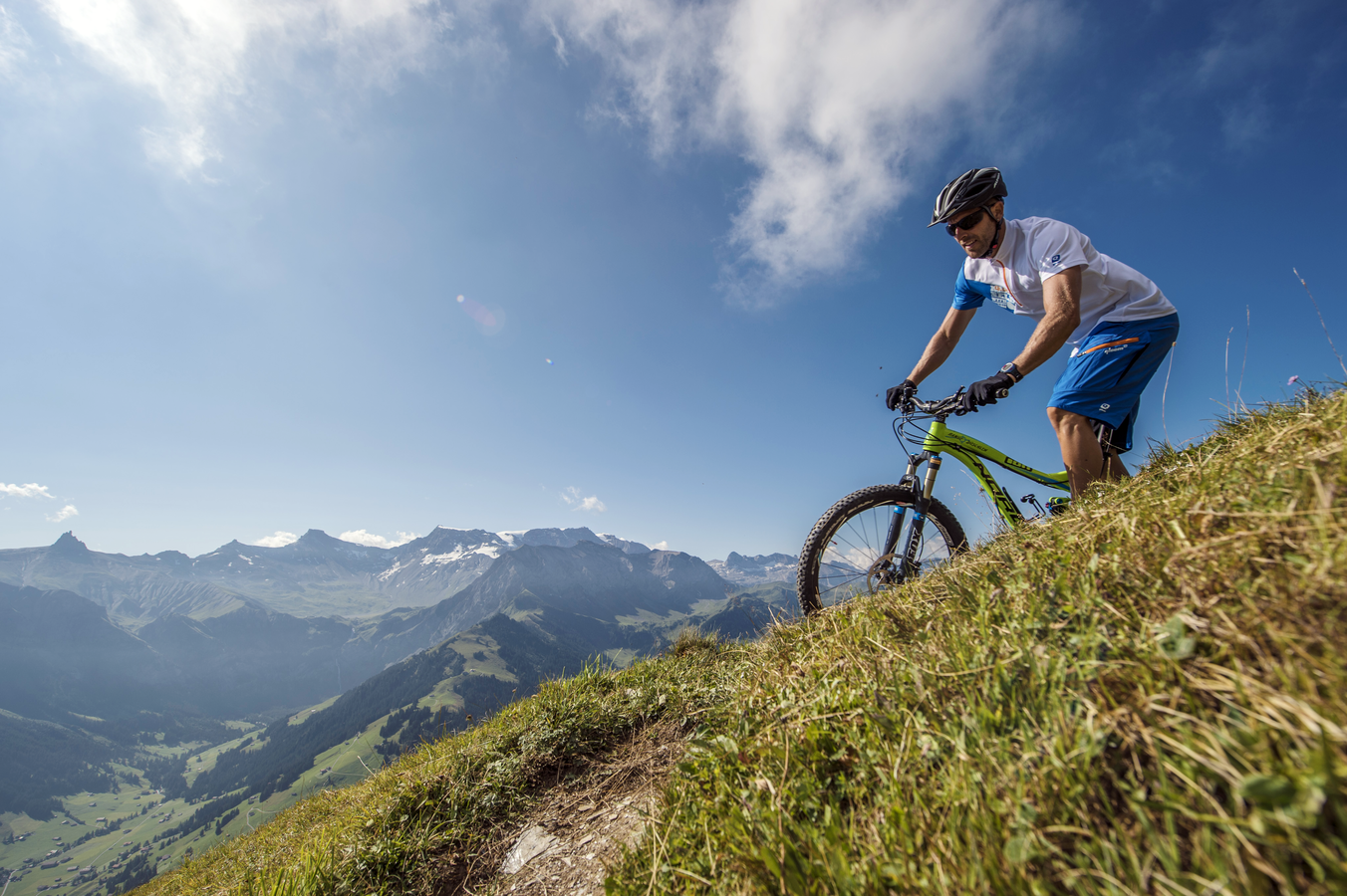
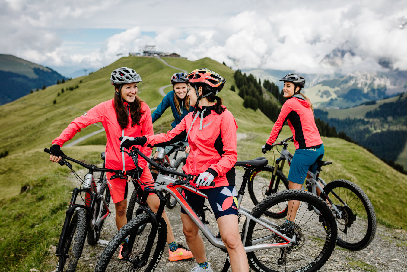
Enchanted corners and a landscape like something out of a picture book. The best way to discover the Adelboden-Lenk region is by bike on our highlight tours.
Bike-Trail Nr. 365 Höchst-Trail
Höchst-Trail
Route: 3,8 km
Descent: 410hm
Highest point: 1'883 m a.s.l
Lowest point: 1'486 m a.s.l
Difficulty: medium, S2
Condition: 3/5
Technique: 4/5
Landscape: 3/5
Families: 1/5
Bikeroute Nr. 4V Tschentenalp - Hörnli Alpengarten
Tschentenegge Trail
Route: 3,2 km
Ascent, descent: 6hm | 425hm
Highest point: 1'940 m a.s.l
Lowest point: 1'524 m a.s.l
Difficulty: medium, S2
Condition: 2/5
Technique: 3/5
Landscape: 4/5
Families: 2/5
Bikeroute Nr. 5 Sillerebühl-Troneggrat
Sillerenbühl - Troneggrat
Route: 25,6 km
Ascent, descent: 1'204hm | 1'204hm
Highest point: 1'980 m a.s.l.
Lowest point: 1'524 m a.s.l.
Difficulty: medium, S1
Condition: 4/5
Technique: 4/5
Landscape: 5/5
Families: 1/5
Bikeroute Nr. 24V Metschstand - Fuhrenweidli
Blatti Trail
Route: 9,47 km
Ascent, descent: 129hm | 815hm
Highest point: 1'992 m a.s.l.
Lowest point: 1'263 m a.s.l.
Difficulty: medium, S2
Condition: 2/5
Technique: 3/5
Landscape: 5/5
Families: 2/5

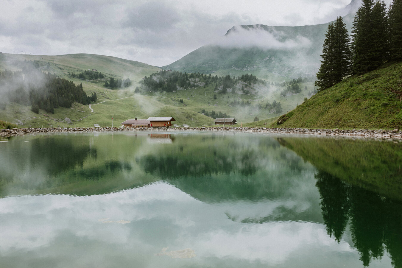
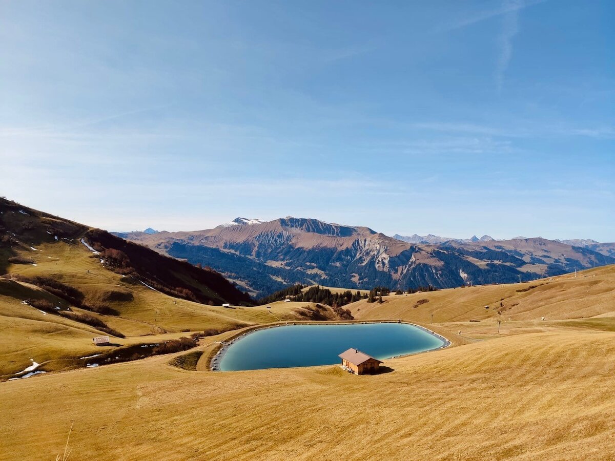
Bikeroute Nr. 25 Elsigenalp - Elsigsee
Elsigsee Runde
Route: 3,2 km
Ascent, descent: 140hm | 140hm
Highest point: 1'933 m a.s.l.
Lowest point: 1'792 m a.s.l.
Difficulty: medium, S1
Condition: 2/5
Technique: 2/5
Landscape: 4/5
Families: 4/5
Bikeroute Nr. 32V Lenk - Leiterli - Summerwald - Lenk
Summerwald Route
Route: 27,6 km
Ascent, descent: 1'019hm | 1'019hm
Highest point: 1'942 m a.s.l.
Lowest point: 1'088 m a.s.l.
Difficulty: medium, S2
Condition: 4/5
Technique: 2/5
Landscape: 5/5
Families: 2/5
Bikeroute Nr. 8 Adelboden - Im tregel - Elsigbach - Alp Metsch - Bonderlen - Adelboden
Alp Metsch
Route: 26 km
Ascent, descent: 1'026hm | 1'026hm
Highest point: 1'710 m a.s.l.
Lowest point: 1'077 m a.s.l.
Difficulty: medium, S1
Condition: 4/5
Technique: 2/5
Landscape: 4/5
Families: 1/5
Bikeroute Nr. 24V / 31V From Lenk to Höchst-Trail and back
Lenk to Höchst-Trail
Route: 24,4 km
Ascent, descent: 50hm | 2'164hm
Highest point: 2'094 m a.s.l
Lowest point: 1'065 m a.s.l
Difficulty: easy
Condition: 1/5
Technique: 1/5
Landscape: 4/5
Families: 1/5